
LandSFACTS
Latest developments
The LandSFACTS model facilitates the creation of spatial land use change scenarios under climate change. The latest developments include shaping the land use changes to enhance multiple Ecosystem Services, while considering land capability and farm types across the landscape. The model provides a framework to explore fully spatialised land use scenarios to test hypotheses supporting land use policies explorations; it is not intended to be predictive nor fully realistic. It is also not an optimiser, but provides potential land use maps that satisfy all the user constraints, upon which Ecosystem Services can be assessed (e.g. carbon balance, nutrient exports, connectivity).
It is currently being used in Scotland, for the Land Use Transformation project (funded by RESAS Strategic Research, JHI-C3). Two examples of the latest scenarios are reported in the following storymaps: Land Use Transformations – A SSP1-Low emissions Scenario and Land Use Transformations – Adding Farm Structure.
This modelling approach was also applied in the Lake District National Park with the support of the National Trust, in order to explore and model opportunities for land use change to support ecosystem services.
Modelling framework
The modelling approach is based on stochastic and rule-based processes complemented with simulated annealing. All the spatial information is linked to polygons (which can be square cells, aka from raster datasets). Each ecosystem service is described using an opportunity map, land use change scores and weights to balance ecosystem services between themselves. The model allocates one land use to one polygon per time step, the definition of each is at the discretion of the user. The model itself does not contain any data and thus could be used on any landscape given the provision of relevant spatial datasets. The model is regularly run in a Linux environment with 8 million polygons (i.e. Scotland at 100m resolution).
Releases
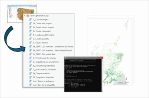
This latest version of the LandSFACTS model is not officially released yet. An ArcGIS Pro interface calling the LandSFACTS C++ executable is also under advanced development (tool named SLM-OT for Sustainable Land Management – Options Tool; originally developed with the National Trust in the Lake District). For further information or to test a pre-release version, please contact Marie Castellazzi.
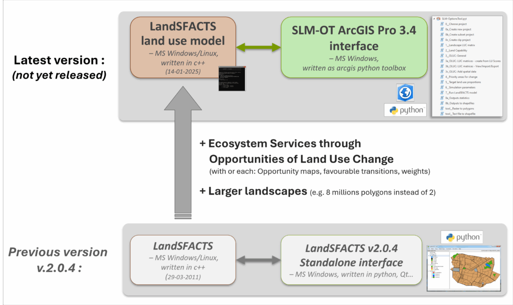
Diagram of the latest LandSFACTS development and its previous official version (v2.0.4)
Previous version (v.2)
The previous official release of the LandSFACTS model and its standalone interface dates back to 2011. The update of its standalone generic interface was supported by Biodivagrim ANR at INRA SAD-Paysage. For a description and download of this model release, cf. “LandSFACTS v.2 (previous)”.
Origins
The model was originally developed for simulating scenarios of spatio-temporal arrangement of crops at the landscape scale within the framework of SIGMEA EU FP7, and was subsequently amended to simulate land uses change scenarios in Scotland (funded by RESAS Strategic Research 2011-2016).